City portrait
Planning areas
The statistics on Wiesbaden's "planning areas" contain data on areas, population, foreigners and migrants.
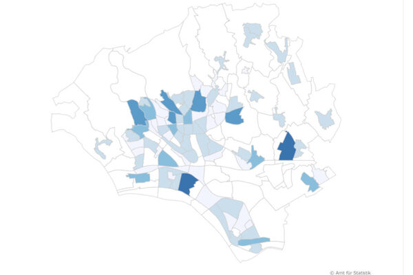
People live the "densest" in the Westend: There are 27,079 inhabitants per square kilometer on 31.12.2024.
However, most Wiesbaden households, namely 6,742, live in Biebrich-Mitte.
Of all planning areas with more than 500 inhabitants, the proportion of migrants is highest in Schelmengraben in 2024 at 75 percent; it is lowest in Auringen-Mitte at 16 percent.
The comprehensive statistics are available for download on this page.
Documents
Further information
Office for Statistics and Urban Research
Address
Wilhelmstraße 32
65183 Wiesbaden
65183 Wiesbaden
Postal address
P.O. Box 3920
65029 Wiesbaden
65029 Wiesbaden
Arrival
Notes on public transport
Public transportation: Bus stop Dern'sches Gelände or Wilhelmstraße, bus lines 1, 2, 4, 5, 8, 14, 15, 16, 17, 18, 21, 22, 23, 24, 27, 45, 48.
Telephone
- +49 611 315691
- +49 611 313962