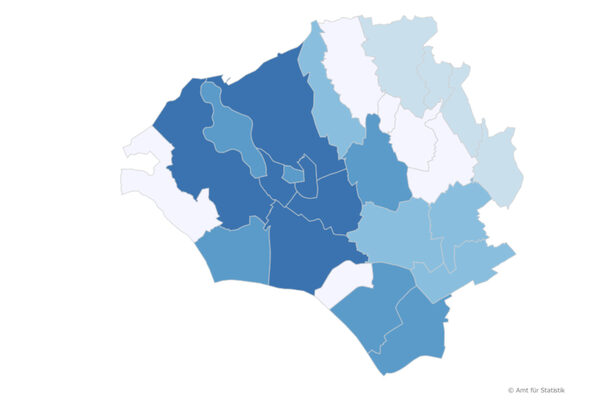
Local districts
The statistics on Wiesbaden's "local districts" contain data on land use, population, building and housing structure, employment and unemployment, cars, doctors and local council elections.
Biebrich is Wiesbaden's largest district with 39,447 inhabitants on 31.12.2024, while Heßloch is the smallest with 673 inhabitants.
Kostheim has benefited the most from inner-city relocations in 2024.
At the end of 2024, Heßloch residents will be the oldest at 50.7 years - on average - while Westend residents will be the youngest at 37.3 years
Residents of the Westend are the least likely to live in their own four walls in 2023 - the ownership rate is 4 percent.
The residents of the Delkenheim district have the most cars per 100 adult residents in 2023, while the Westend has the lowest level of motorization.
The comprehensive statistics are available for download on this page.
Documents
Further information
Office for Statistics and Urban Research
Address
65183 Wiesbaden
Postal address
65029 Wiesbaden
Arrival
Notes on public transport
Public transportation: Bus stop Dern'sches Gelände or Wilhelmstraße, bus lines 1, 2, 4, 5, 8, 14, 15, 16, 17, 18, 21, 22, 23, 24, 27, 45, 48.
Telephone
- +49 611 315691
- +49 611 313962